Table of Contents

Measuring distance&area
Measuring distance
There are three methods of measuring the distance between two points in Locus Map:
- beeline measuring - measuring of straight distance between two points
- road distance measuring - measuring distance of two points along roads and paths
- track measuring - measuring recorded distance is described in detail in track recording >>
Beeline measuring
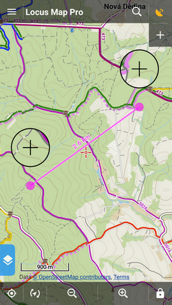
Quick distance measuring
The quickest way of measuring the distance between any two points on the map screen.
- go to Settings > Controlling > Map screen > Two-finger measuring - check
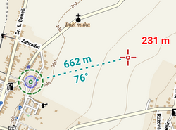
Cursor to position line
Another method of easy measuring of the distance between your actual GPS position and any point on the map.
- go to Settings > Maps > Auxiliary graphics > Cursor to position line - switch it ON
- a line with the distance and azimuth stretches between your position and the map cursor
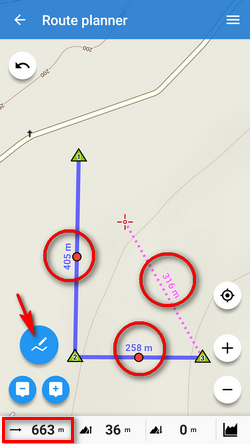
Route planner
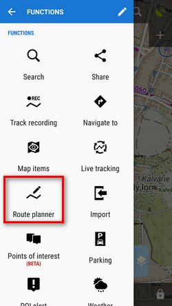
- Menu > More functions > Route planner
- total distance between first and last shaping point is displayed in the bottom bar
Road distance measuring
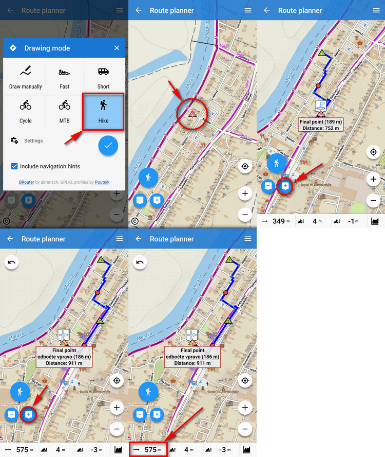
Route planner can be used for measuring road distances too:
- set some of automatic modes
- tap in the starting point
- shift cursor at the final spot
- add a route shaping point - you can add as many as you need
- a route is drawn between points along roads and paths according to your selected drawing mode
- road distance is displayed in the bottom bar:
Measuring area
Areas are measured by the Route planner too. More info >>
