Translations by gtranslate.io
Sidebar
manual:user_guide:settings:points_tracks
Table of Contents

Points & Tracks Settings
Points
Tap on point
Sets default action after tapping a point on the map:

Point label content
Basic settings
Labels on map:
- Never - label appears only after tapping the point
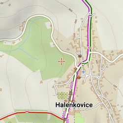
- On hover - label appears when the cursor is moved over the point:
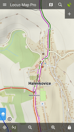
- Always - label permanently visible:
Elevation value - elevation on the location of the point:
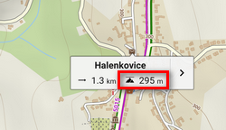 (based on offline elevation data)
Context menu
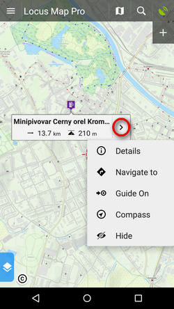 Available switches:
- Details, Navigate to, Guide to, Compass, Edit, Hide, Delete
Geocaching switches:
- Parent cache, Hint, Load all waypoints, Log your visit
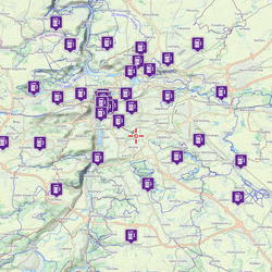
Enable POI grouping
Displays a group symbol in higher map zooms on places with high density of selected points of interest for better map readability:
New point default location
When creating a new user point on map, use one of following default methods of location:
- GPS fixed position - creates point on actual GPS position of the user
- Map screen center - creates point at actual position of the cursor in the middle of the map screen
Check POI duplicates
Allows to prevent importing identical points of interest, including geocaches. You can select if to check all imported caches or only caches in selected folders.
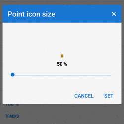
Point icon size
Sets size of icons on the map from 50 to 300% of a normal size:
Tracks
Tap on track
Sets default action after tapping a track:

Track label content
Basic settings
Labels on map - sets type of the label at a track starting point:
- Do not show - starting point is without label
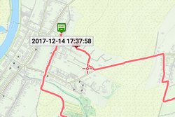
- Simple - label shows only date/time of start:
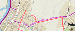
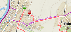
- Complex - label shows date/time of start, route/track length, total positive and negative elevation:

Distance to GPS, recorded time - more optional values
Context menu
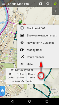 Trackpoint (particular spot on track) switches:
- trackpoint number, show on elevation chart
Track switches:
- track detail, analyzer (stats and charts), edit (name etc.), modify track, navigation/guidance, hide and delete
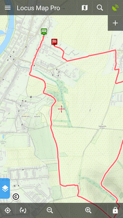
Track start/end icons
Select graphic symbols at start/stop of active tracks:
- No symbol
- Dot

- Icon
Track line style
Default graphic settings of all tracks and routes across the whole app. More info >>
Ovewrite exported data
Allow to overwrite files that have been already exported.
manual/user_guide/settings/points_tracks.txt · Last modified: 2022/04/08 11:55 by mstupka
Except where otherwise noted, content on this wiki is licensed under the following license: CC Attribution-Share Alike 4.0 International
